Erie's weather environmental web site!
CURRENT MESOSCALE ANALYSIS
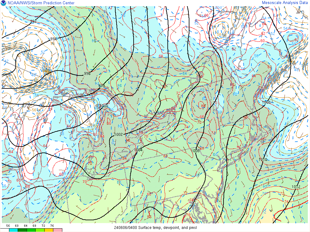
| Surface Temps/ Dewpoint/ PMSL |
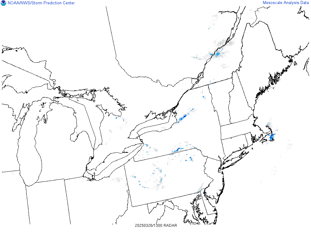
Regional Radar |
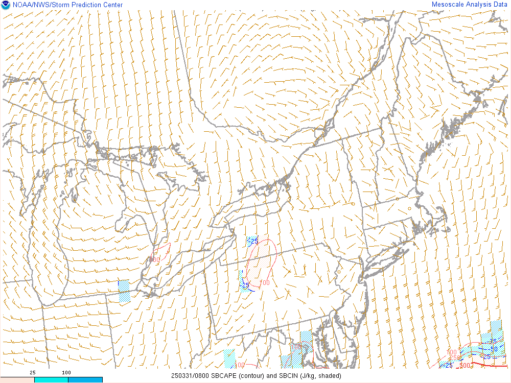
Surface Base CAPE/CIN |
 |
 |
 |
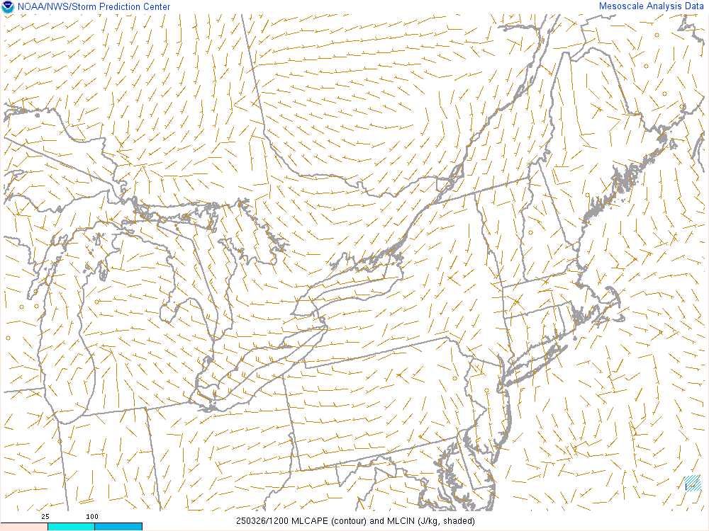
| Mean Layer CAPE/CIN |
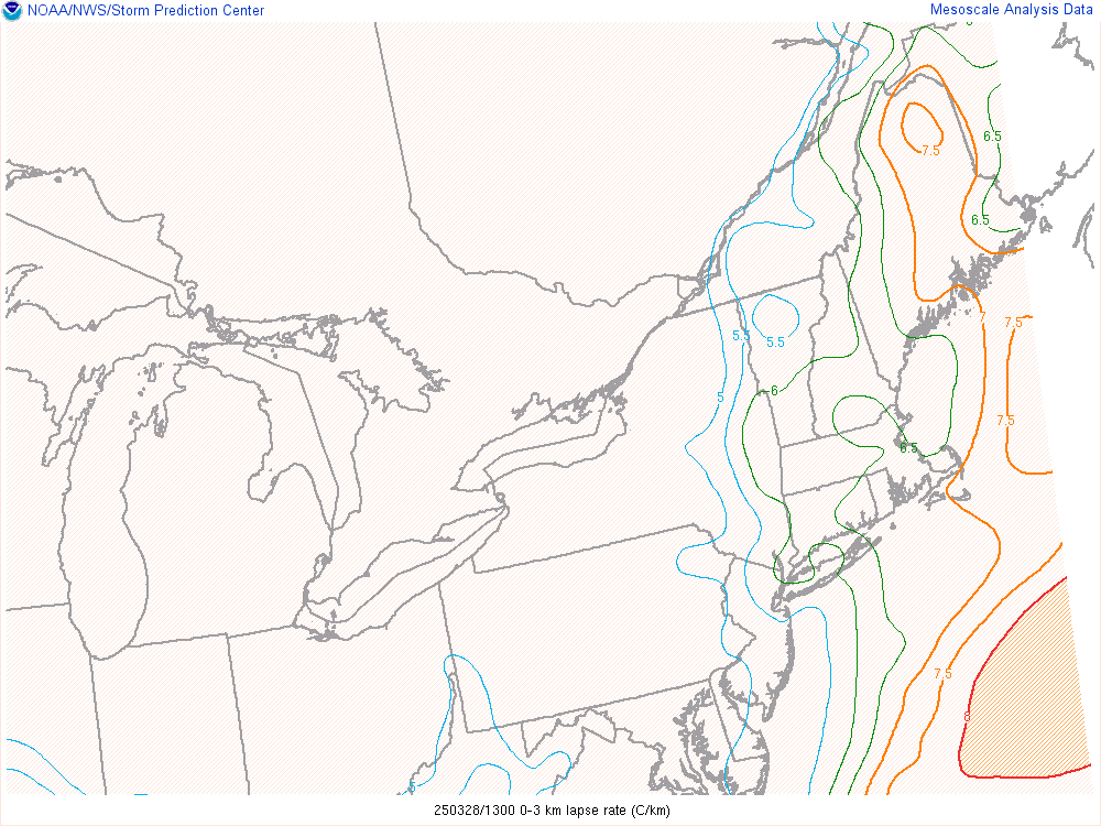
0-3 km Lapse Rates |
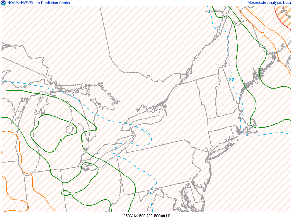
700-500mb Lapse Rates |
 |
 |
 |
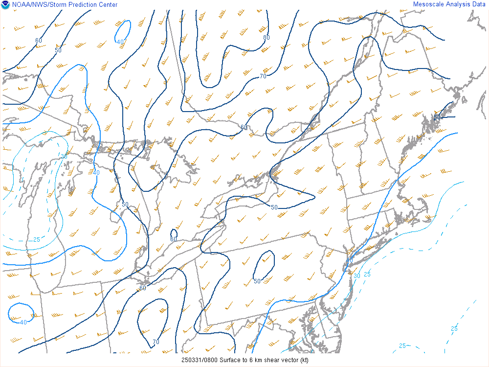
| 0-6 km Shear Vector |
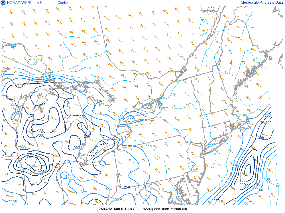
0-1 km Storm Relative Helicity |
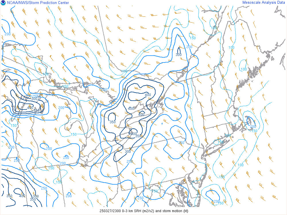
0-3 km Storm Relative Helicity |
 |
 |
 |
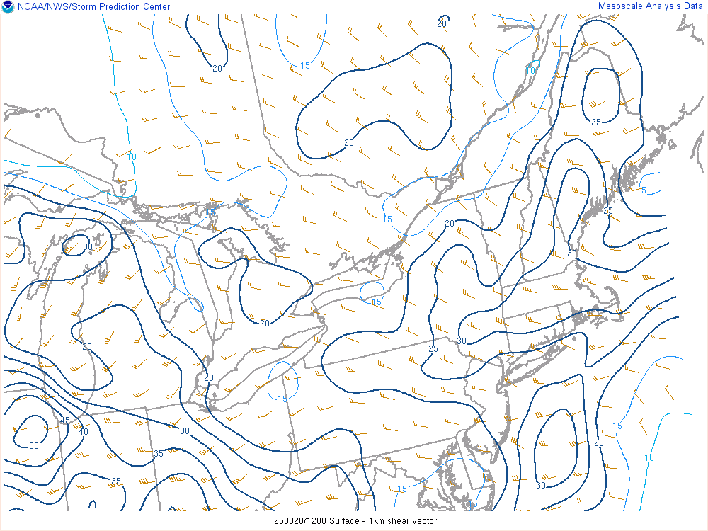
| 0-1 km Shear Vector |
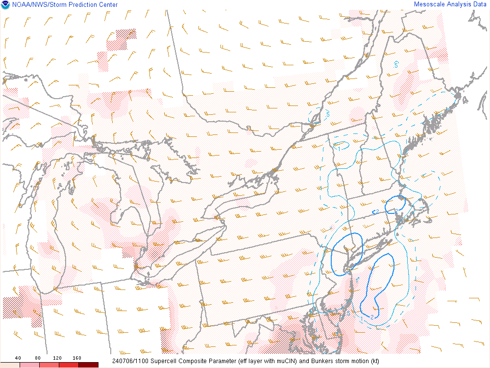
Supercell Composite Parameter |
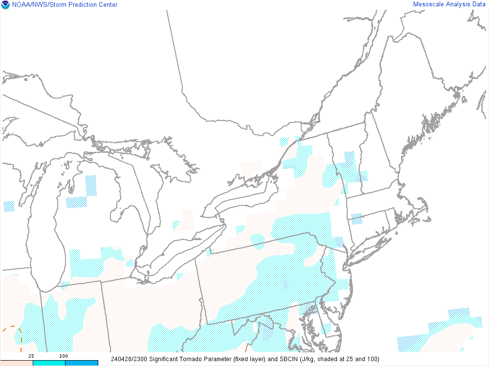
Significant Tornado Parameter |
 |
 |
 |
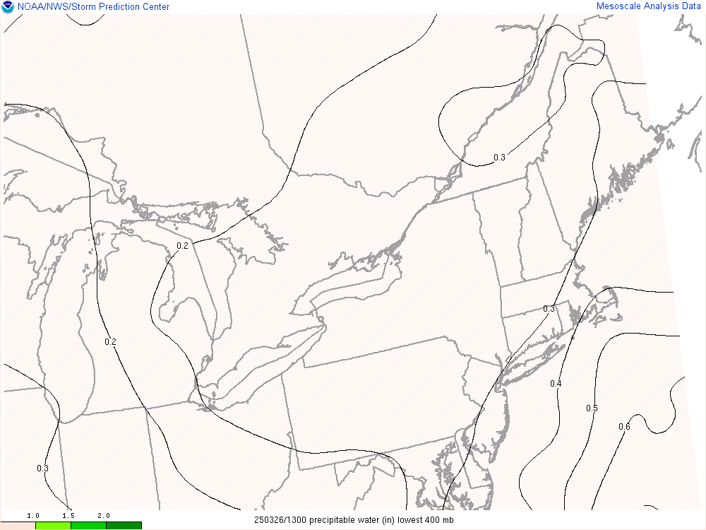
| Precipitable Water |
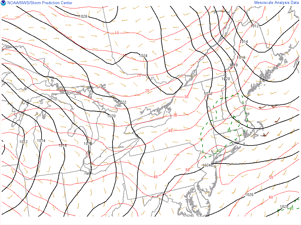
Surface Temps/Wind |
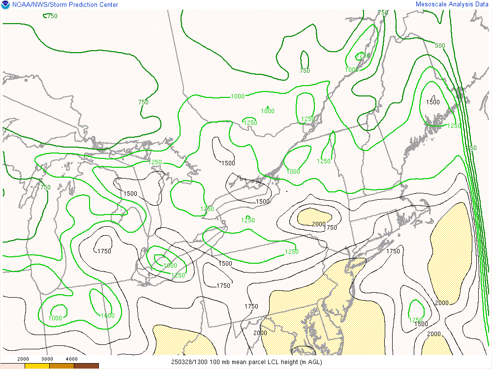
100mb Mean Parcel LCL (m AGL) |
 |
 |
 |
| Today’s Storm Reports |
Yesterday’s Storm Reports |
Current Severe weather Watches |
 |
 |
 |
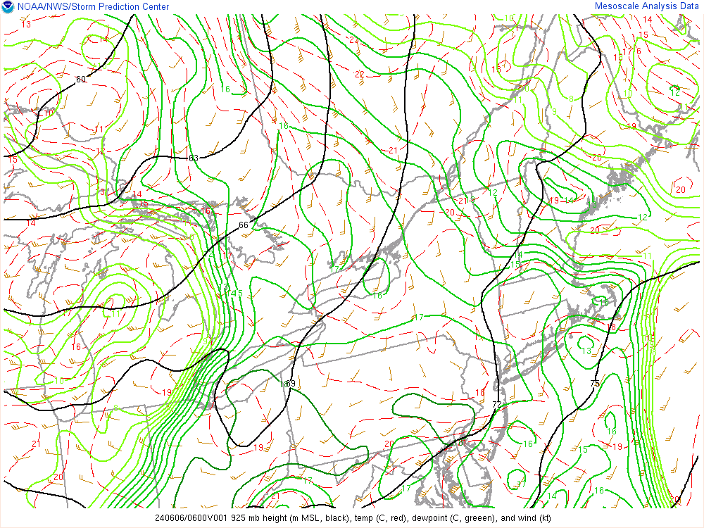
| 925 mb Heights/Temps/Winds |
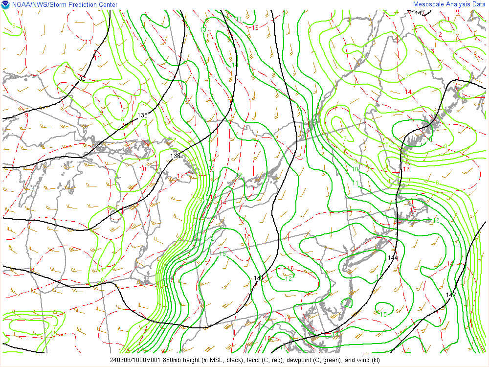
850 mb Heights/Temps/Winds |
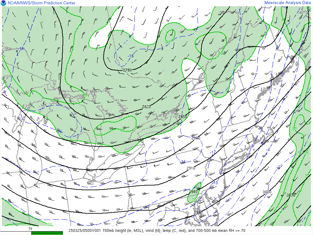
700 mb Heights/Temps/Winds |
 |
 |
 |
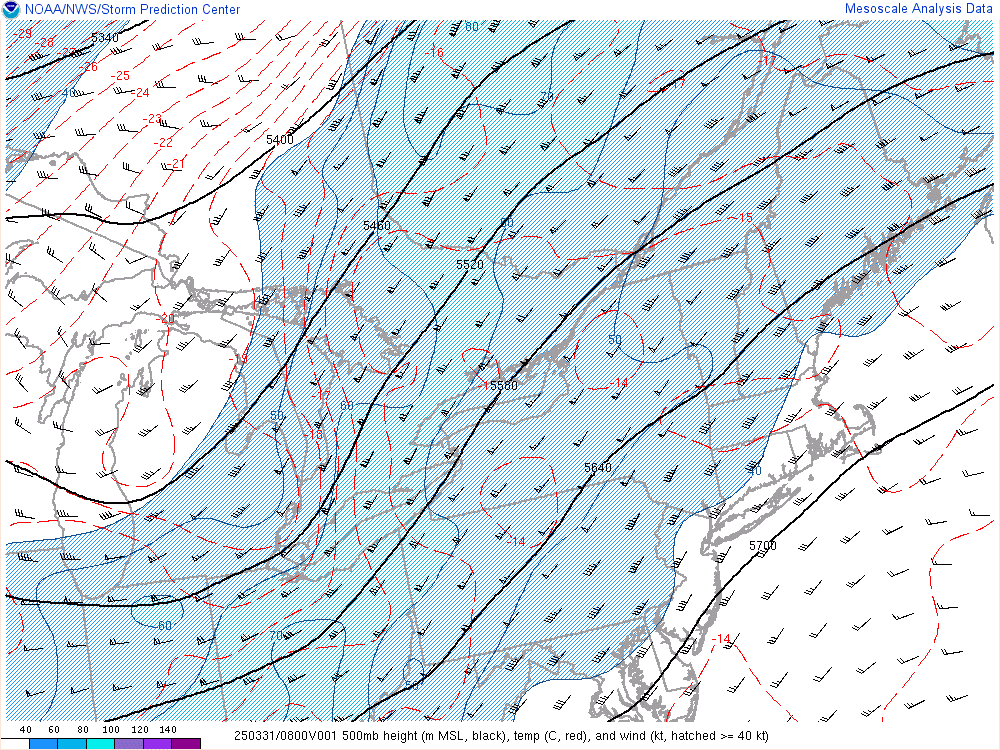
| 500 mb Heights/Temps/Winds |
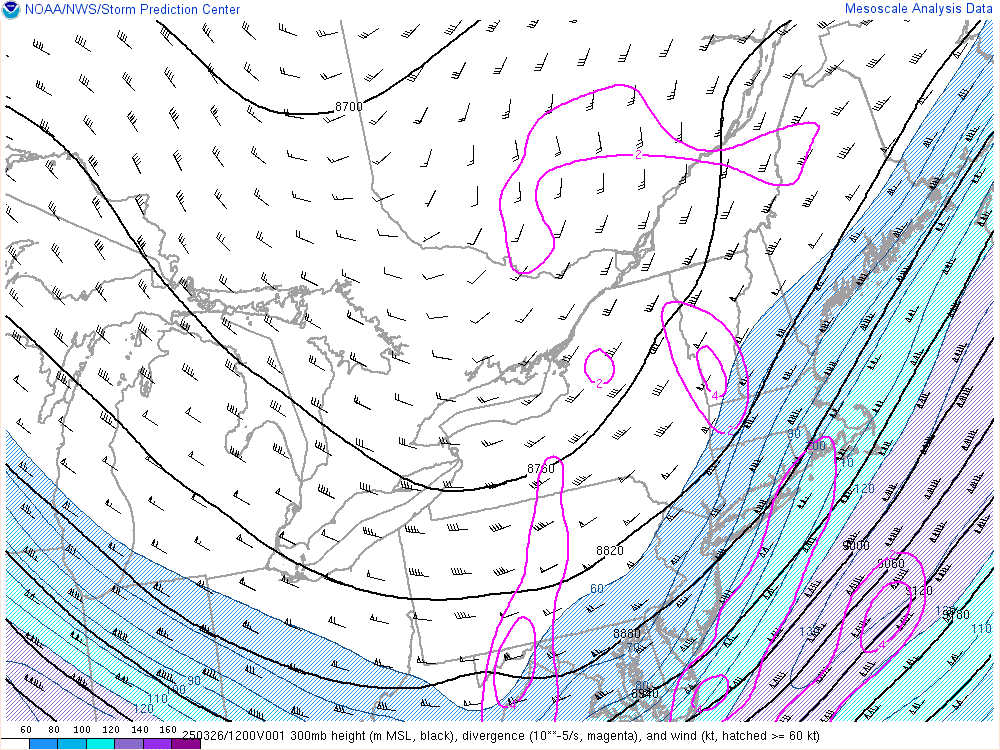
300 mb Heights/Divergence/Winds |
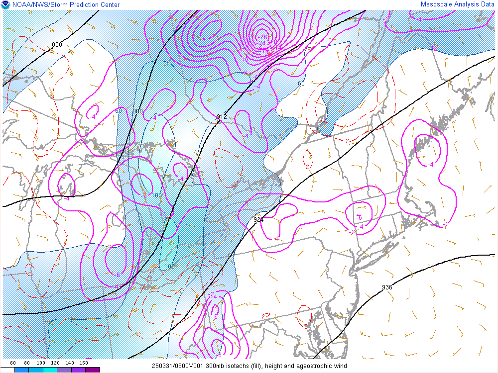
300 mb Jet Circulation |
 |
 |
 |